File:River Dove bridge between Tutbury and Hatton - Geograph - 837859.jpg
Jump to navigation
Jump to search

No higher resolution available.
River_Dove_bridge_between_Tutbury_and_Hatton_-_Geograph_-_837859.jpg (640 × 436 pixels, file size: 116 KB, MIME type: image/jpeg)
| |||||||||||||||||||||||||
|
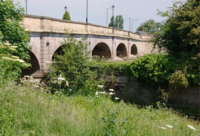
Galleries | A511 | A50 | Tutbury Bridge | ||
File history
Click on a date/time to view the file as it appeared at that time.
| Date/Time | Thumbnail | Dimensions | User | Comment | |
|---|---|---|---|---|---|
| current | 15:55, 4 July 2010 | | 640 × 436 (116 KB) | Bob@romiley1 (talk | contribs) | River Dove bridge between Tutbury and Hatton |
File usage
The following page uses this file: