File:River Etherow, below Woolley Bridge - Geograph - 33025.jpg
Jump to navigation
Jump to search

No higher resolution available.
River_Etherow,_below_Woolley_Bridge_-_Geograph_-_33025.jpg (640 × 480 pixels, file size: 119 KB, MIME type: image/jpeg)
| |||||||||||||||||||||||||
|
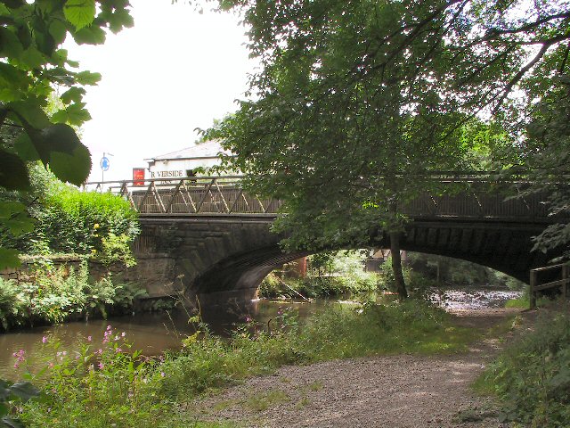
Galleries | A57 | Woolley Bridge | ||
File history
Click on a date/time to view the file as it appeared at that time.
| Date/Time | Thumbnail | Dimensions | User | Comment | |
|---|---|---|---|---|---|
| current | 14:54, 6 August 2010 | | 640 × 480 (119 KB) | Bob@romiley1 (talk | contribs) | '''River Etherow, below Woolley Bridge'''<br/>On the Lancashire,Cheshire and Derbyshire border |
File usage
The following page uses this file: