File:River Itchen flows under a former railway embankment - Geograph - 130008.jpg
Jump to navigation
Jump to search

No higher resolution available.
River_Itchen_flows_under_a_former_railway_embankment_-_Geograph_-_130008.jpg (640 × 480 pixels, file size: 367 KB, MIME type: image/jpeg)
| |||||||||||||||||||||||||
|
Galleries | B3047 | ||
File history
Click on a date/time to view the file as it appeared at that time.
| Date/Time | Thumbnail | Dimensions | User | Comment | |
|---|---|---|---|---|---|
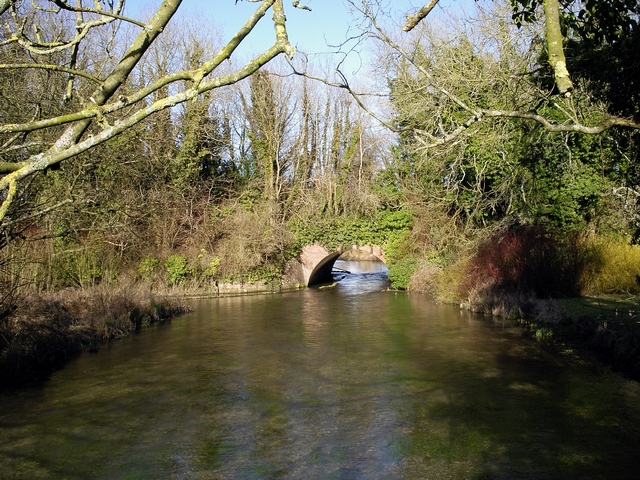
| current | 17:59, 14 May 2010 | | 640 × 480 (367 KB) | Bob@romiley1 (talk | contribs) | '''River Itchen flows under a former railway embankment'''<br/>The river flows south west towards the photographer, after flowing under the railway embankment of the former Mid Hants Railway. |
File usage
The following 2 pages use this file: