File:River Welland bridge, A47 (C) Peter Whatley - Geograph - 3586306.jpg
Jump to navigation
Jump to search

No higher resolution available.
River_Welland_bridge,_A47_(C)_Peter_Whatley_-_Geograph_-_3586306.jpg (640 × 480 pixels, file size: 81 KB, MIME type: image/jpeg)
| |||||||||||||||||||||||||
|
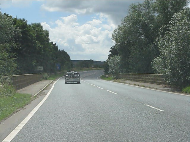
Galleries | A47 | Duddington Bypass Bridge | ||
File history
Click on a date/time to view the file as it appeared at that time.
| Date/Time | Thumbnail | Dimensions | User | Comment | |
|---|---|---|---|---|---|
| current | 15:48, 31 October 2014 | | 640 × 480 (81 KB) | Jeni (talk | contribs) | '''River Welland bridge, A47 (C) Peter Whatley '''<br/>Beyond the bridge, the road enters Rutland. |
File usage
The following page uses this file:
_Peter_Whatley_-_Geograph_-_3586306.jpg&oldid=390070)