File:Road, rail and sea; from the air - Geograph - 3151543.jpg
Jump to navigation
Jump to search

No higher resolution available.
Road,_rail_and_sea;_from_the_air_-_Geograph_-_3151543.jpg (640 × 361 pixels, file size: 66 KB, MIME type: image/jpeg)
| |||||||||||||||||||||||||
|
Galleries | A30 | Branwell Lane | Penzance | ||
File history
Click on a date/time to view the file as it appeared at that time.
| Date/Time | Thumbnail | Dimensions | User | Comment | |
|---|---|---|---|---|---|
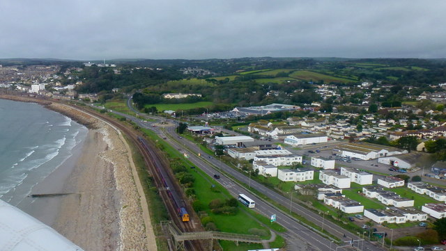
| current | 19:14, 1 June 2016 | | 640 × 361 (66 KB) | Jeni (talk | contribs) | '''Road, rail and sea; from the air''' View from the helicopter to Tresco just seconds into its flight. Tescos can be seen in the centre. |
File usage
The following 2 pages use this file: