No higher resolution available.
File history
Click on a date/time to view the file as it appeared at that time.
| Date/Time | Thumbnail | Dimensions | User | Comment |
|---|
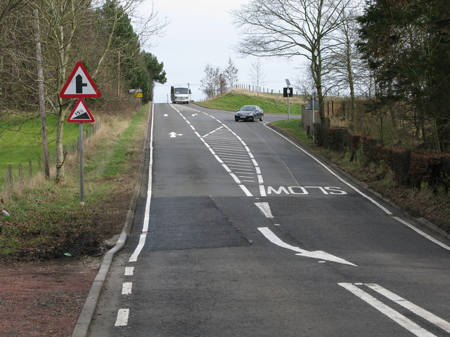
| current | 13:27, 16 April 2010 |  | 640 × 480 (95 KB) | Bob@romiley1 (talk | contribs) | '''Road Junction on the B7011'''<br/>Looking up the B7011 in the direction of Law. The road branching off to the right leads to Carluke. |
File usage
The following 2 pages use this file:
This file contains additional information, probably added from the digital camera or scanner used to create or digitise it.
If the file has been modified from its original state, some details may not fully reflect the modified file.
