File:Road Junction on the B768 beside Pollock Park - Geograph - 1214132.jpg
Jump to navigation
Jump to search

No higher resolution available.
Road_Junction_on_the_B768_beside_Pollock_Park_-_Geograph_-_1214132.jpg (640 × 480 pixels, file size: 52 KB, MIME type: image/jpeg)
| |||||||||||||||||||||||||
|
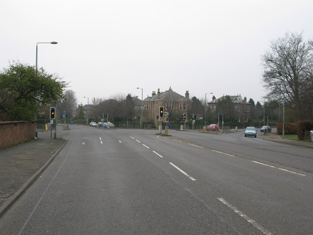
Galleries | B768 | B769 | S2 | Traffic Signals | Glasgow | ||
File history
Click on a date/time to view the file as it appeared at that time.
| Date/Time | Thumbnail | Dimensions | User | Comment | |
|---|---|---|---|---|---|
| current | 14:47, 5 January 2010 | | 640 × 480 (52 KB) | Bob@romiley1 (talk | contribs) | {{Information |description = Road Junction on the B768 beside Pollock Park |day = 21 |month = 03 |year = 2009 |photographer = © Copyright [http://www.geograph.org.uk/profile/27852 G Laird] and licensed for reuse under [http://cre |
File usage
The following 2 pages use this file: