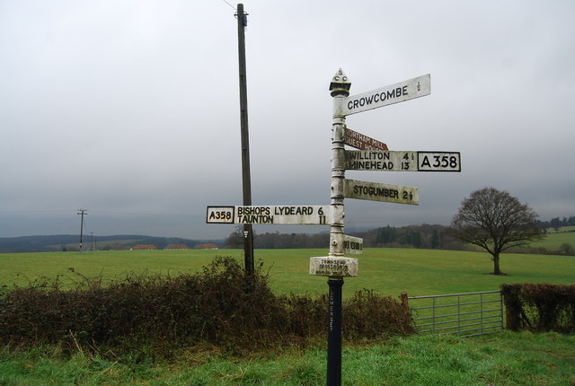
File:Road Sign, Townsend Crossroads - Geograph - 1651460.jpg
Jump to navigation
Jump to search

No higher resolution available.
Road_Sign,_Townsend_Crossroads_-_Geograph_-_1651460.jpg (640 × 430 pixels, file size: 117 KB, MIME type: image/jpeg)
| |||||||||||||||||||||||||
|
Galleries | A358 | Pre-Worboys Fingerpost Signs | ||
File history
Click on a date/time to view the file as it appeared at that time.
| Date/Time | Thumbnail | Dimensions | User | Comment | |
|---|---|---|---|---|---|
| current | 17:27, 8 January 2010 | | 640 × 430 (117 KB) | Jeni (talk | contribs) | {{Information |description = Road Sign, Townsend Crossroads |day = 29 |month = 12 |year = 2009 |photographer = © Copyright [http://www.geograph.org.uk/profile/3101 Nigel Chadwick] and licensed for reuse under [http://creativecomm |
File usage
There are no pages that use this file.