File:Road Signs, Church Rd (A264) - Geograph - 1287386.jpg
Jump to navigation
Jump to search

No higher resolution available.
Road_Signs,_Church_Rd_(A264)_-_Geograph_-_1287386.jpg (640 × 430 pixels, file size: 103 KB, MIME type: image/jpeg)
| |||||||||||||||||||||||||
|
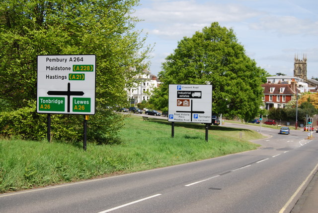
Galleries | A264 | B2022 | High Weald Country Tour | Advance Direction Sign | ||
File history
Click on a date/time to view the file as it appeared at that time.
| Date/Time | Thumbnail | Dimensions | User | Comment | |
|---|---|---|---|---|---|
| current | 15:05, 25 July 2011 | | 640 × 430 (103 KB) | Viator (talk | contribs) | Advance direction signs on Church Road, Tunbridge Wells |
File usage
The following 2 pages use this file:
_-_Geograph_-_1287386.jpg&oldid=459058)