File:Road and cycle route near Gravesend (C) Malc McDonald - Geograph - 3645577.jpg
Jump to navigation
Jump to search

No higher resolution available.
Road_and_cycle_route_near_Gravesend_(C)_Malc_McDonald_-_Geograph_-_3645577.jpg (640 × 360 pixels, file size: 57 KB, MIME type: image/jpeg)
| |||||||||||||||||||||||||
|
Galleries | NCN1 | EuroVelo 5 | Gravesend | ||
File history
Click on a date/time to view the file as it appeared at that time.
| Date/Time | Thumbnail | Dimensions | User | Comment | |
|---|---|---|---|---|---|
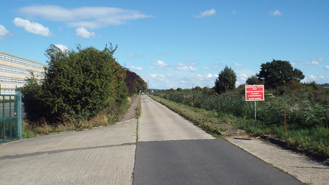
| current | 13:57, 8 March 2014 | | 640 × 360 (57 KB) | Si404 (talk | contribs) | '''Road and cycle route near Gravesend (C) Malc McDonald '''<br/>This road is part of the National Cycle Network, forming a section of route 1 which links Dover with the Shetland Islands. |
File usage
The following 2 pages use this file:
_Malc_McDonald_-_Geograph_-_3645577.jpg&oldid=366441)