File:Road at Ballyclaber - Geograph - 529063.jpg
Jump to navigation
Jump to search

No higher resolution available.
Road_at_Ballyclaber_-_Geograph_-_529063.jpg (640 × 299 pixels, file size: 25 KB, MIME type: image/jpeg)
| |||||||||||||||||||||||||
|
Galleries | A29 (Northern Ireland) | Causeway Coastal Route | Coleraine | ||
File history
Click on a date/time to view the file as it appeared at that time.
| Date/Time | Thumbnail | Dimensions | User | Comment | |
|---|---|---|---|---|---|
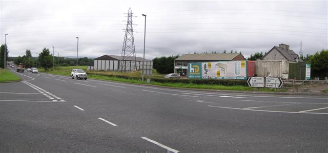
| current | 14:23, 16 June 2010 | | 640 × 299 (25 KB) | Si404 (talk | contribs) | '''Road at Ballyclaber'''<br/>It is located to the east of Coleraine |
File usage
The following 3 pages use this file: