File:Road at Kilcooney - Geograph - 2517836.jpg
Jump to navigation
Jump to search

No higher resolution available.
Road_at_Kilcooney_-_Geograph_-_2517836.jpg (640 × 480 pixels, file size: 65 KB, MIME type: image/jpeg)
| |||||||||||||||||||||||||
|
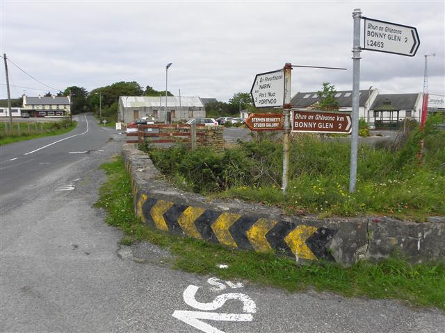
Galleries | R261 | L2463 | Wild Atlantic Way | Flag Sign | Warning Sign/Sharp Deviation of Route | ||
File history
Click on a date/time to view the file as it appeared at that time.
| Date/Time | Thumbnail | Dimensions | User | Comment | |
|---|---|---|---|---|---|
| current | 09:51, 8 May 2016 | | 640 × 480 (65 KB) | C2r (talk | contribs) | '''Road at Kilcooney''' Heading north-east towards Narin / Portnoo |
File usage
The following 2 pages use this file: