File:Road at Mulnagoad - Geograph - 2535610.jpg
Jump to navigation
Jump to search

No higher resolution available.
Road_at_Mulnagoad_-_Geograph_-_2535610.jpg (640 × 480 pixels, file size: 45 KB, MIME type: image/jpeg)
| |||||||||||||||||||||||||
|
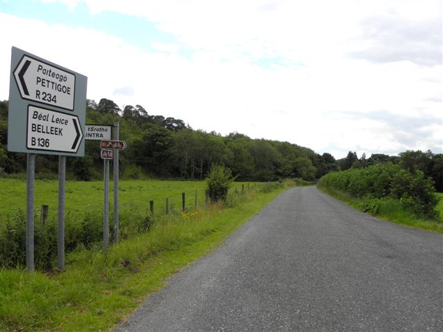
Galleries | R234 | B136 (Northern Ireland) | Pettigo | Flag Sign | ||
File history
Click on a date/time to view the file as it appeared at that time.
| Date/Time | Thumbnail | Dimensions | User | Comment | |
|---|---|---|---|---|---|
| current | 11:28, 25 June 2012 | | 640 × 480 (45 KB) | Si404 (talk | contribs) | Road at Mulnagoad |
File usage
The following 4 pages use this file: