File:Road bifurcation at Hunterston castle - Geograph - 6621378.jpg
Jump to navigation
Jump to search

No higher resolution available.
Road_bifurcation_at_Hunterston_castle_-_Geograph_-_6621378.jpg (640 × 480 pixels, file size: 91 KB, MIME type: image/jpeg)
| |||||||||||||||||||||||||
|
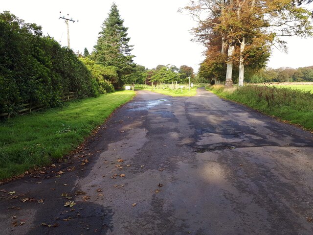
Galleries | U35 (North Ayrshire) | Hunterston | ||
File history
Click on a date/time to view the file as it appeared at that time.
| Date/Time | Thumbnail | Dimensions | User | Comment | |
|---|---|---|---|---|---|
| current | 00:06, 28 March 2021 | | 640 × 480 (91 KB) | Tam nugent (talk | contribs) | Left to the castle, right on Old Road to the Clyde coast and the ore terminal. |
File usage
The following page uses this file: