File:Road bridge over River Gipping - Geograph - 552460.jpg
Jump to navigation
Jump to search

No higher resolution available.
Road_bridge_over_River_Gipping_-_Geograph_-_552460.jpg (640 × 403 pixels, file size: 89 KB, MIME type: image/jpeg)
| |||||||||||||||||||||||||
|
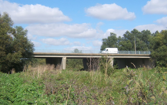
Galleries | B1113 | S2 | Claydon Link Bridge | ||
File history
Click on a date/time to view the file as it appeared at that time.
| Date/Time | Thumbnail | Dimensions | User | Comment | |
|---|---|---|---|---|---|
| current | 13:55, 14 June 2010 | | 640 × 403 (89 KB) | Bob@romiley1 (talk | contribs) | '''Road bridge over River Gipping'''<br/>Near the A14 Claydon roundabout. |
File usage
The following 2 pages use this file: