File:Road bridge over River Parrett - Geograph - 4425404.jpg
Jump to navigation
Jump to search

No higher resolution available.
Road_bridge_over_River_Parrett_-_Geograph_-_4425404.jpg (640 × 480 pixels, file size: 84 KB, MIME type: image/jpeg)
| |||||||||||||||||||||||||
|
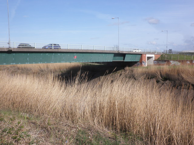
Galleries | A39 | Bridgwater | Drove Bridge (Bridgwater) | Girder Bridges | ||
File history
Click on a date/time to view the file as it appeared at that time.
| Date/Time | Thumbnail | Dimensions | User | Comment | |
|---|---|---|---|---|---|
| current | 14:47, 12 August 2016 | | 640 × 480 (84 KB) | Rileyrob (talk | contribs) | '''Road bridge over River Parrett''' |
File usage
The following 5 pages use this file: