File:Road bridge over the Chelmer and Blackwater Navigation - Geograph - 4350229.jpg
Jump to navigation
Jump to search

No higher resolution available.
Road_bridge_over_the_Chelmer_and_Blackwater_Navigation_-_Geograph_-_4350229.jpg (640 × 480 pixels, file size: 102 KB, MIME type: image/jpeg)
| |||||||||||||||||||||||||
|
Galleries | A138 | Chelmer Viaduct | Chelmsford | Essex | ||
File history
Click on a date/time to view the file as it appeared at that time.
| Date/Time | Thumbnail | Dimensions | User | Comment | |
|---|---|---|---|---|---|
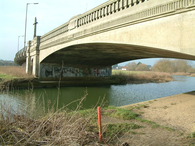
| current | 10:38, 2 October 2016 | | 640 × 480 (102 KB) | C2r (talk | contribs) | '''Road bridge over the Chelmer and Blackwater Navigation''' The A138 (formerly A12) passes over the Chelmer and Blackwater Navigation. This bridge is soon to be replaced by another alongside it. |
File usage
The following page uses this file: