File:Road bridge over the Severn approaching Alney island roundabout - Geograph - 1541119.jpg
Jump to navigation
Jump to search

No higher resolution available.
Road_bridge_over_the_Severn_approaching_Alney_island_roundabout_-_Geograph_-_1541119.jpg (640 × 444 pixels, file size: 49 KB, MIME type: image/jpeg)
| |||||||||||||||||||||||||
|
Galleries | A40 | A40 Bridge | S2 | ||
File history
Click on a date/time to view the file as it appeared at that time.
| Date/Time | Thumbnail | Dimensions | User | Comment | |
|---|---|---|---|---|---|
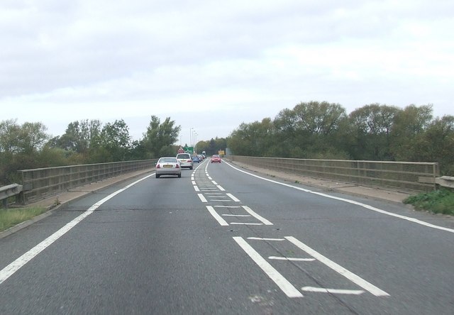
| current | 10:34, 17 August 2010 | | 640 × 444 (49 KB) | Bob@romiley1 (talk | contribs) | Road bridge over the Severn approaching Alney island roundabout |
File usage
The following 2 pages use this file: