File:Road junction, Charing Cross - Geograph - 2008534.jpg
Jump to navigation
Jump to search

No higher resolution available.
Road_junction,_Charing_Cross_-_Geograph_-_2008534.jpg (640 × 480 pixels, file size: 153 KB, MIME type: image/jpeg)
| |||||||||||||||||||||||||
|
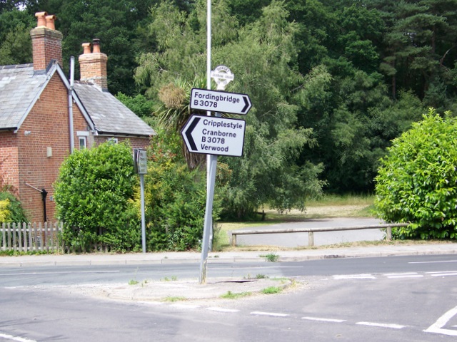
Galleries | B3078 | Dorset | Charing Cross (Alderholt) | Flag Sign | ||
File history
Click on a date/time to view the file as it appeared at that time.
| Date/Time | Thumbnail | Dimensions | User | Comment | |
|---|---|---|---|---|---|
| current | 06:11, 5 October 2016 | | 640 × 480 (153 KB) | C2r (talk | contribs) | '''Road junction, Charing Cross''' The minor road (Ringwood Road) joins the B3078 (Daggons Road) at Charing Cross. |
File usage
The following page uses this file: