File:Road junction, Grange Road, Wingland - Geograph - 337681.jpg
Jump to navigation
Jump to search

No higher resolution available.
Road_junction,_Grange_Road,_Wingland_-_Geograph_-_337681.jpg (640 × 480 pixels, file size: 211 KB, MIME type: image/jpeg)
| |||||||||||||||||||||||||
|
Galleries | C824 (Lincolnshire) | Pictures from Geograph | ||
File history
Click on a date/time to view the file as it appeared at that time.
| Date/Time | Thumbnail | Dimensions | User | Comment | |
|---|---|---|---|---|---|
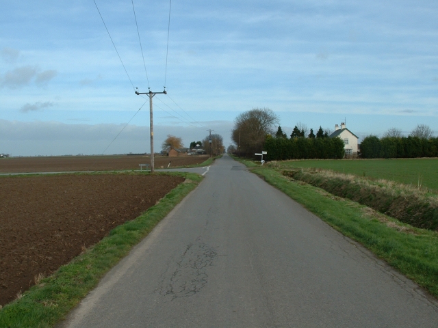
| current | 11:47, 8 July 2020 | | 640 × 480 (211 KB) | C2r (talk | contribs) | '''Road junction, Grange Road, Wingland''' The road ahead stretches off like an arrow into Wingland Marsh. The road to the left leads up to the river bank at Sutton Bridge. |
File usage
The following page uses this file: