File:Road junction at The Stripe - Geograph - 2136936.jpg
Jump to navigation
Jump to search

No higher resolution available.
Road_junction_at_The_Stripe_-_Geograph_-_2136936.jpg (600 × 400 pixels, file size: 64 KB, MIME type: image/jpeg)
| |||||||||||||||||||||||||
File history
Click on a date/time to view the file as it appeared at that time.
| Date/Time | Thumbnail | Dimensions | User | Comment | |
|---|---|---|---|---|---|
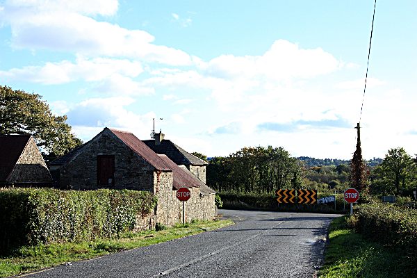
| current | 11:47, 2 April 2014 | | 600 × 400 (64 KB) | Viator (talk | contribs) | The R705 meets the R700 at The Stripe, about 5 km north of New Ross |
File usage
The following 3 pages use this file: