File:Road junction near Hyde Heath - Geograph - 4176854.jpg
Jump to navigation
Jump to search

No higher resolution available.
Road_junction_near_Hyde_Heath_-_Geograph_-_4176854.jpg (640 × 428 pixels, file size: 98 KB, MIME type: image/jpeg)
| |||||||||||||||||||||||||
|
Galleries | MC43 (Buckinghamshire) | MC44 (Buckinghamshire) | ||
File history
Click on a date/time to view the file as it appeared at that time.
| Date/Time | Thumbnail | Dimensions | User | Comment | |
|---|---|---|---|---|---|
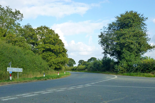
| current | 10:43, 11 March 2017 | | 640 × 428 (98 KB) | Si404 (talk | contribs) | '''Road junction near Hyde Heath''' A road on the right from the A413 meets Hyde Hill, running from Great Missenden, left, to Chesham and Amersham, straight on. |
File usage
The following 2 pages use this file: