File:Road junction near Mount Rule (C) Andy Stephenson - Geograph - 109780.jpg
Jump to navigation
Jump to search

No higher resolution available.
Road_junction_near_Mount_Rule_(C)_Andy_Stephenson_-_Geograph_-_109780.jpg (640 × 421 pixels, file size: 102 KB, MIME type: image/jpeg)
| |||||||||||||||||||||||||
|
Galleries | A23 (Isle of Man) | B22 (Isle of Man) | B15 (Braddan Bridge - Injebreck) | B16 (Crosby - Mount Rule) | ||
File history
Click on a date/time to view the file as it appeared at that time.
| Date/Time | Thumbnail | Dimensions | User | Comment | |
|---|---|---|---|---|---|
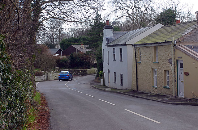
| current | 23:06, 17 June 2013 | | 640 × 421 (102 KB) | Si404 (talk | contribs) | '''Road junction near Mount Rule (C) Andy Stephenson '''<br/>Photo taken from the entrance to Mount Rule House, looking SE towards Douglas. |
File usage
The following 5 pages use this file:
_Andy_Stephenson_-_Geograph_-_109780.jpg&oldid=680807)