File:Road junction near Woolley - Geograph - 2131351.jpg
Jump to navigation
Jump to search

No higher resolution available.
Road_junction_near_Woolley_-_Geograph_-_2131351.jpg (640 × 480 pixels, file size: 70 KB, MIME type: image/jpeg)
| |||||||||||||||||||||||||
|
Galleries | C107 (Cambridgeshire) | Huntingdonshire | Warning Sign/Side Road | Regulatory Sign/No Stopping | ||
File history
Click on a date/time to view the file as it appeared at that time.
| Date/Time | Thumbnail | Dimensions | User | Comment | |
|---|---|---|---|---|---|
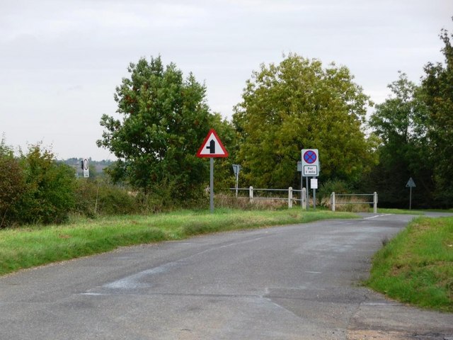
| current | 17:07, 27 February 2018 | | 640 × 480 (70 KB) | C2r (talk | contribs) | '''Road junction near Woolley''' The lane from Alconbury meets the road from the A1 to Woolley. |
File usage
The following 4 pages use this file: