File:Road junction on Wittersham Road - Geograph - 1743093.jpg
Jump to navigation
Jump to search

No higher resolution available.
Road_junction_on_Wittersham_Road_-_Geograph_-_1743093.jpg (640 × 480 pixels, file size: 85 KB, MIME type: image/jpeg)
| |||||||||||||||||||||||||
|
Galleries | B2082 | ||
File history
Click on a date/time to view the file as it appeared at that time.
| Date/Time | Thumbnail | Dimensions | User | Comment | |
|---|---|---|---|---|---|
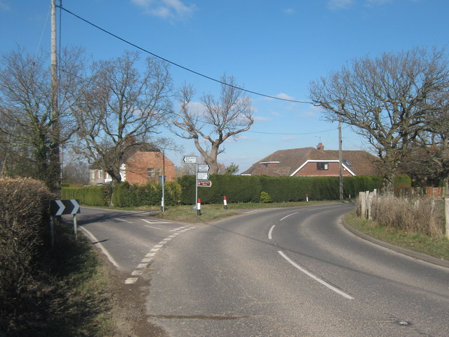
| current | 19:52, 10 March 2010 | | 640 × 480 (85 KB) | Jeni (talk | contribs) | '''Road junction on Wittersham Road'''<br/>The Wittersham Road heads left to Potman's Heath. The B2082 heads right to Peening Quarter and onto Small Hythe. |
File usage
The following 2 pages use this file: