File:Road junction on the A711 - Geograph - 1307429.jpg
Jump to navigation
Jump to search

No higher resolution available.
Road_junction_on_the_A711_-_Geograph_-_1307429.jpg (640 × 441 pixels, file size: 79 KB, MIME type: image/jpeg)
| |||||||||||||||||||||||||
|
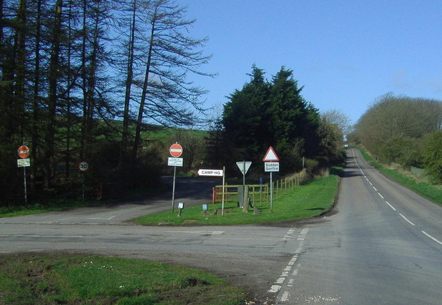
Galleries | A711 | Solway Coast Heritage Trail | South West Coastal 300 | ||
File history
Click on a date/time to view the file as it appeared at that time.
| Date/Time | Thumbnail | Dimensions | User | Comment | |
|---|---|---|---|---|---|
| current | 20:06, 3 September 2009 | | 640 × 441 (79 KB) | Bob@romiley1 (talk | contribs) | {{Information |description = Road junction on the A711 |day = 12 |month = 04 |year = 2009 |photographer = © Copyright [http://www.geograph.org.uk/profile/7996 Ann Cook] and licensed for reuse under [http://creativecommons.org/lic |
File usage
The following 2 pages use this file: