File:Road near White Rocks - Geograph - 835739.jpg
Jump to navigation
Jump to search

No higher resolution available.
Road_near_White_Rocks_-_Geograph_-_835739.jpg (640 × 479 pixels, file size: 87 KB, MIME type: image/jpeg)
| |||||||||||||||||||||||||
|
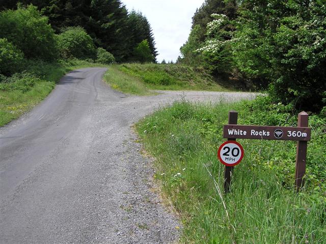
Galleries | Lough Navar Forest Drive | Speed limit sign/20 mph | ||
File history
Click on a date/time to view the file as it appeared at that time.
| Date/Time | Thumbnail | Dimensions | User | Comment | |
|---|---|---|---|---|---|
| current | 18:45, 2 September 2018 | | 640 × 479 (87 KB) | Si404 (talk | contribs) | '''Road near White Rocks''' Heading north-west |
File usage
The following page uses this file: