File:Road out of Freshwater Bay, Isle of Wight - Geograph - 1801288.jpg
Jump to navigation
Jump to search

No higher resolution available.
Road_out_of_Freshwater_Bay,_Isle_of_Wight_-_Geograph_-_1801288.jpg (640 × 428 pixels, file size: 81 KB, MIME type: image/jpeg)
| |||||||||||||||||||||||||
|
Galleries | A3055 | Isle of Wight | ||
File history
Click on a date/time to view the file as it appeared at that time.
| Date/Time | Thumbnail | Dimensions | User | Comment | |
|---|---|---|---|---|---|
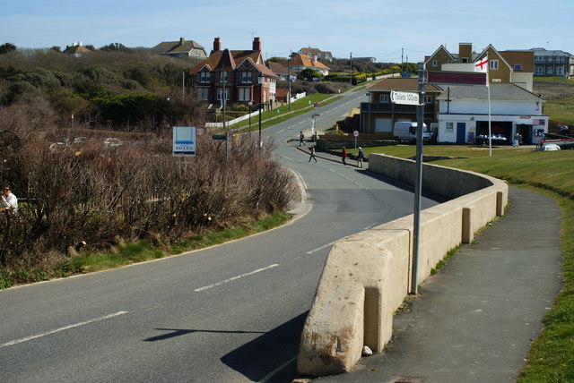
| current | 12:23, 22 April 2010 | | 640 × 428 (81 KB) | Si404 (talk | contribs) | '''Road out of Freshwater Bay, Isle of Wight'''<br/>The road, which becomes the A3055, winds out of Freshwater Bay, in an easterly direction. Note the concrete barrier, to protect pedestrians from runaway vehicles. |
File usage
The following page uses this file: