File:Road to Abington near White Hill - Geograph - 4113604.jpg
Jump to navigation
Jump to search

No higher resolution available.
Road_to_Abington_near_White_Hill_-_Geograph_-_4113604.jpg (640 × 427 pixels, file size: 56 KB, MIME type: image/jpeg)
| |||||||||||||||||||||||||
|
Galleries | A702 | Clyde Valley Tourist Route | Abington | ||
File history
Click on a date/time to view the file as it appeared at that time.
| Date/Time | Thumbnail | Dimensions | User | Comment | |
|---|---|---|---|---|---|
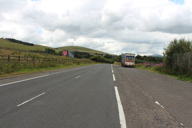
| current | 16:57, 20 August 2016 | | 640 × 427 (56 KB) | Si404 (talk | contribs) | '''Road to Abington near White Hill''' The lorry on the left is on the M74. |
File usage
The following page uses this file: