File:Road to Largs - Geograph - 3493115.jpg
Jump to navigation
Jump to search

No higher resolution available.
Road_to_Largs_-_Geograph_-_3493115.jpg (640 × 427 pixels, file size: 55 KB, MIME type: image/jpeg)
| |||||||||||||||||||||||||
|
Galleries | A78 | A78/Flood Gates | ||
File history
Click on a date/time to view the file as it appeared at that time.
| Date/Time | Thumbnail | Dimensions | User | Comment | |
|---|---|---|---|---|---|
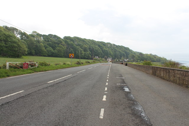
| current | 21:38, 10 March 2021 | | 640 × 427 (55 KB) | Tam nugent (talk | contribs) | Flood gate at Meigle on the A78 south of Skelmorlie |
File usage
There are no pages that use this file.