File:Road to Poppit Sands - Geograph - 743904.jpg

From Roader's Digest: The SABRE Wiki
Jump to navigation Jump to search

Road_to_Poppit_Sands_-_Geograph_-_743904.jpg(640 × 428 pixels, file size: 83 KB, MIME type: image/jpeg)

Y topleft.gifY topright.gif
Description:
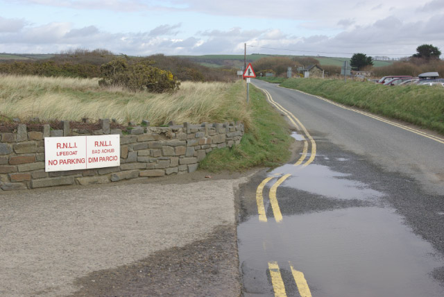
Road to Poppit Sands
Looking back towards Cardigan; the road is classified as the B4546 beyond the junction just ahead with the road from Cippyn. The entrance to the lifeboat station is on the left. Double yellow lines abound here, but there is a large car park provided for visitors to the beach.
Location:52.104615, -4.699038
Road:b4546
Date:24 03 2008
Photographer:� Copyright Stephen McKay and licensed for reuse under this Creative Commons Licence
Source:Geograph

Map

Y btmleft.gifY btmright.gif

Galleries  | b4546 | S1

File history

Click on a date/time to view the file as it appeared at that time.

Date/TimeThumbnailDimensionsUserComment
current19:50, 18 March 2010Thumbnail for version as of 19:50, 18 March 2010640 × 428 (83 KB)Bob@romiley1 (talk | contribs)'''Road to Poppit Sands'''<br/>Looking back towards Cardigan; the road is classified as the B4546 beyond the junction just ahead with the road from Cippyn. The entrance to the lifeboat station is on the left. Double yellow lines abound here, but there is

The following page uses this file:

Metadata

SABRE - The Society for All British and Irish Road Enthusiasts
Discuss - Digest - Discover - Help