File:Roadside houses, Uley - Geograph - 1478673.jpg
Jump to navigation
Jump to search

No higher resolution available.
Roadside_houses,_Uley_-_Geograph_-_1478673.jpg (640 × 426 pixels, file size: 68 KB, MIME type: image/jpeg)
| |||||||||||||||||||||||||
|
Galleries | B4066 | Cotswold Scarp Scenic Route | S2 | ||
File history
Click on a date/time to view the file as it appeared at that time.
| Date/Time | Thumbnail | Dimensions | User | Comment | |
|---|---|---|---|---|---|
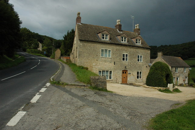
| current | 20:44, 8 March 2010 | | 640 × 426 (68 KB) | Bob@romiley1 (talk | contribs) | {{Information |description = Roadside houses, Uley |day = 05 |month = 09 |year = 2009 |photographer = © Copyright [http://www.geograph.org.uk/profile/1837 Philip Halling] and licensed for reuse under [http://creativecommons.org/l |
File usage
There are no pages that use this file.