File:Rochdale Road, Britannia Heights (C) David Dixon - Geograph - 2036722.jpg
Jump to navigation
Jump to search

No higher resolution available.
Rochdale_Road,_Britannia_Heights_(C)_David_Dixon_-_Geograph_-_2036722.jpg (640 × 384 pixels, file size: 81 KB, MIME type: image/jpeg)
| |||||||||||||||||||||||||
File history
Click on a date/time to view the file as it appeared at that time.
| Date/Time | Thumbnail | Dimensions | User | Comment | |
|---|---|---|---|---|---|
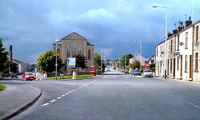
| current | 22:04, 4 November 2013 | | 640 × 384 (81 KB) | Vlad (talk | contribs) | '''Rochdale Road, Britannia Heights (C) David Dixon '''<br/>The road off to the left is the A6066. The former church at the junction has been converted into apartments. |
File usage
The following 3 pages use this file:
_David_Dixon_-_Geograph_-_2036722.jpg&oldid=357862)