File:Rochfortbridge, County Westmeath - Geograph - 1784356.jpg
Jump to navigation
Jump to search

No higher resolution available.
Rochfortbridge,_County_Westmeath_-_Geograph_-_1784356.jpg (640 × 487 pixels, file size: 83 KB, MIME type: image/jpeg)
| |||||||||||||||||||||||||
|
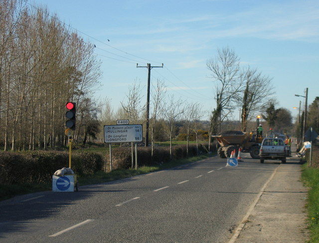
Galleries | R400 | Traffic Signals | Roadworks | Route Confirmation Sign | ||
File history
Click on a date/time to view the file as it appeared at that time.
| Date/Time | Thumbnail | Dimensions | User | Comment | |
|---|---|---|---|---|---|
| current | 15:53, 11 May 2016 | | 640 × 487 (83 KB) | C2r (talk | contribs) | '''Rochfortbridge, County Westmeath''' Roadworks on the R400 in Rochfortbridge |
File usage
The following 2 pages use this file: