File:Roman Road, Bow (C) David Anstiss - Geograph - 2807712.jpg
Jump to navigation
Jump to search

No higher resolution available.
Roman_Road,_Bow_(C)_David_Anstiss_-_Geograph_-_2807712.jpg (640 × 480 pixels, file size: 74 KB, MIME type: image/jpeg)
| |||||||||||||||||||||||||
|
Galleries | B119 | ||
File history
Click on a date/time to view the file as it appeared at that time.
| Date/Time | Thumbnail | Dimensions | User | Comment | |
|---|---|---|---|---|---|
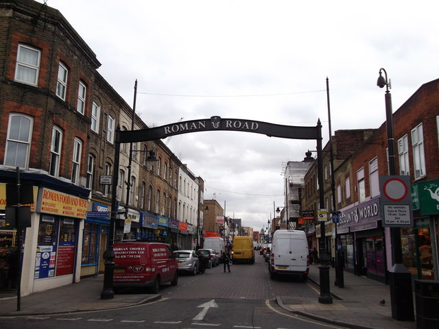
| current | 21:31, 6 December 2014 | | 640 × 480 (74 KB) | Vlad (talk | contribs) | '''Roman Road, Bow (C) David Anstiss '''<br/>This long straight shopping street leads from Legion Terrace to Stephen's Road.<br /> <br /> Bow has an historical trail highlighting the historic parts of the area. |
File usage
The following 2 pages use this file:
_David_Anstiss_-_Geograph_-_2807712.jpg&oldid=392063)