File:Rosslare Strand Railway Station - Geograph - 313485.jpg
Jump to navigation
Jump to search

No higher resolution available.
Rosslare_Strand_Railway_Station_-_Geograph_-_313485.jpg (640 × 427 pixels, file size: 106 KB, MIME type: image/jpeg)
| |||||||||||||||||||||||||
|
Galleries | R740 | ||
File history
Click on a date/time to view the file as it appeared at that time.
| Date/Time | Thumbnail | Dimensions | User | Comment | |
|---|---|---|---|---|---|
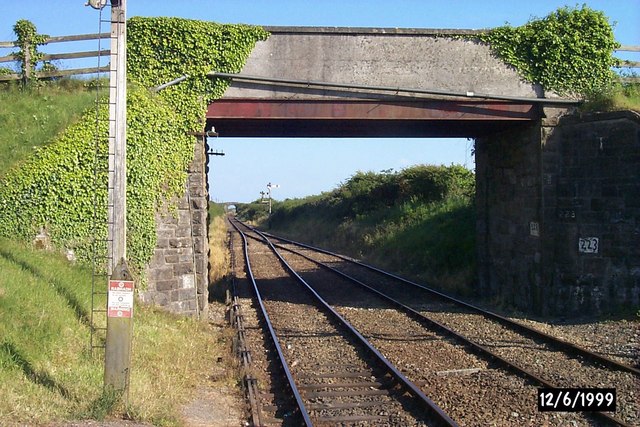
| current | 21:37, 22 May 2016 | | 640 × 427 (106 KB) | C2r (talk | contribs) | '''R740 bridge over Rosslare Strand Railway''' Viewed from the eastern end of the platform of the railway station, the track runs single-track to the end of the line at Rosslare Harbour. |
File usage
The following 2 pages use this file: