File:Roundabout, Townhill Park, Southampton (C) GaryReggae - Geograph - 26931.jpg
Jump to navigation
Jump to search

No higher resolution available.
Roundabout,_Townhill_Park,_Southampton_(C)_GaryReggae_-_Geograph_-_26931.jpg (640 × 480 pixels, file size: 121 KB, MIME type: image/jpeg)
| |||||||||||||||||||||||||
|
Galleries | C68 (Southampton) | C351 (Southampton) | Southampton | Mousehole Roundabout | ||
File history
Click on a date/time to view the file as it appeared at that time.
| Date/Time | Thumbnail | Dimensions | User | Comment | |
|---|---|---|---|---|---|
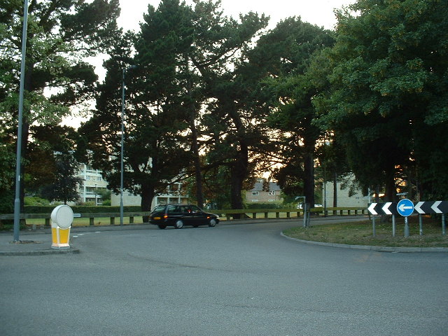
| current | 23:10, 11 July 2014 | | 640 × 480 (121 KB) | Si404 (talk | contribs) | '''Roundabout, Townhill Park, Southampton (C) GaryReggae '''<br/>A busy and fast-moving roundabout on the junction of Westend Road, Mousehole Lane and Townhill Way. |
File usage
The following 4 pages use this file:
_GaryReggae_-_Geograph_-_26931.jpg&oldid=380431)