File:Roundabout at the top of Hill Lane - Geograph - 1780295.jpg
Jump to navigation
Jump to search

No higher resolution available.
Roundabout_at_the_top_of_Hill_Lane_-_Geograph_-_1780295.jpg (640 × 480 pixels, file size: 60 KB, MIME type: image/jpeg)
| |||||||||||||||||||||||||
|
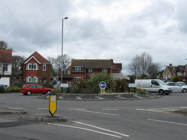
Galleries | A35 | C20 (Southampton) | Southampton | Hollybrook Roundabout | ||
File history
Click on a date/time to view the file as it appeared at that time.
| Date/Time | Thumbnail | Dimensions | User | Comment | |
|---|---|---|---|---|---|
| current | 12:46, 16 April 2010 | | 640 × 480 (60 KB) | Sabristo simon (talk | contribs) | '''Hollybrook Roundabout at the top of Hill Lane'''<br/>Junction of Hill Lane, Winchester Road and Lordswood Road |
File usage
The following 4 pages use this file: