File:Roundabout at the western end of Worcester's southern link road - Geograph - 53886.jpg
Jump to navigation
Jump to search

No higher resolution available.
Roundabout_at_the_western_end_of_Worcester's_southern_link_road_-_Geograph_-_53886.jpg (640 × 426 pixels, file size: 118 KB, MIME type: image/jpeg)
| |||||||||||||||||||||||||
|
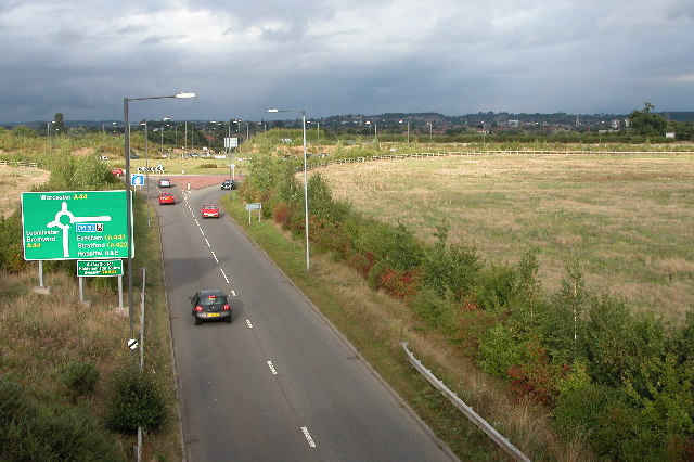
Galleries | A4103 | Elgar Route | Worcester | Advance Direction Sign | ||
File history
Click on a date/time to view the file as it appeared at that time.
| Date/Time | Thumbnail | Dimensions | User | Comment | |
|---|---|---|---|---|---|
| current | 13:51, 20 December 2009 | | 640 × 426 (118 KB) | Jeni (talk | contribs) | {{Information |description = Roundabout at the western end of Worcester's southern link road |day = 15 |month = 09 |year = 2005 |photographer = © Copyright [http://www.geograph.org.uk/profile/1837 Philip Halling] and licensed for |
File usage
The following 2 pages use this file: