File:Roundabout junction - Geograph - 2825320.jpg
Jump to navigation
Jump to search

No higher resolution available.
Roundabout_junction_-_Geograph_-_2825320.jpg (640 × 480 pixels, file size: 65 KB, MIME type: image/jpeg)
| |||||||||||||||||||||||||
|
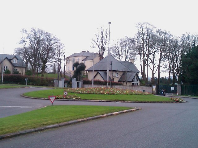
Galleries | R852 | R853 | Regulatory Sign/Give Way | ||
File history
Click on a date/time to view the file as it appeared at that time.
| Date/Time | Thumbnail | Dimensions | User | Comment | |
|---|---|---|---|---|---|
| current | 16:30, 14 May 2016 | | 640 × 480 (65 KB) | A39 chris (talk | contribs) | '''Roundabout junction''' The roundabout formed the junction of Churchyard Lane (from which this was taken), Well Road (to the right) and Skehard Road. This has since been replaced by a traffic light junction. |