File:Roundabout near Charmouth - Geograph - 4751645.jpg
Jump to navigation
Jump to search

No higher resolution available.
Roundabout_near_Charmouth_-_Geograph_-_4751645.jpg (640 × 480 pixels, file size: 82 KB, MIME type: image/jpeg)
| |||||||||||||||||||||||||
|
Galleries | A35 | A3052 | Charmouth Roundabout | ||
File history
Click on a date/time to view the file as it appeared at that time.
| Date/Time | Thumbnail | Dimensions | User | Comment | |
|---|---|---|---|---|---|
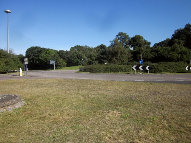
| current | 22:47, 12 September 2016 | | 640 × 480 (82 KB) | C2r (talk | contribs) | '''Roundabout near Charmouth''' Where the A35 meets the A3052 into Lyme Regis and the old main road into Charmouth. It also seems to be on the route of the South West Coast Path, presumably because more coastal paths have become dangerous after landslips. |
File usage
The following 2 pages use this file: