File:Roundabout near Old Fallings - Geograph - 2858469.jpg
Jump to navigation
Jump to search

No higher resolution available.
Roundabout_near_Old_Fallings_-_Geograph_-_2858469.jpg (640 × 480 pixels, file size: 54 KB, MIME type: image/jpeg)
| |||||||||||||||||||||||||
|
Galleries | U120 (Wolverhampton) | Wolverhampton | ||
File history
Click on a date/time to view the file as it appeared at that time.
| Date/Time | Thumbnail | Dimensions | User | Comment | |
|---|---|---|---|---|---|
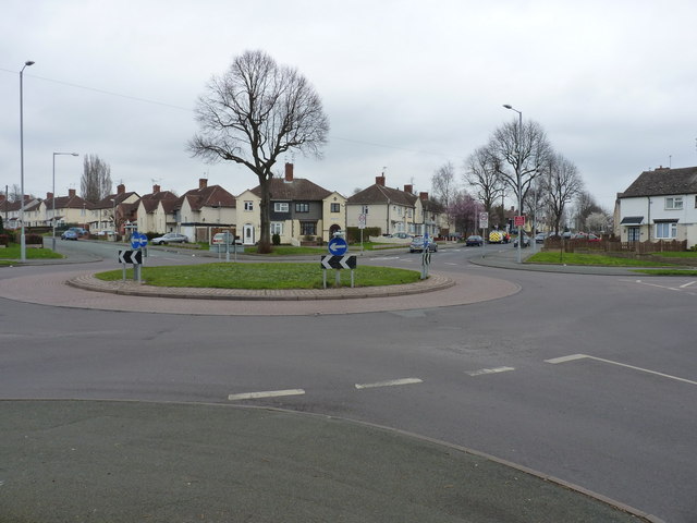
| current | 16:15, 24 October 2016 | | 640 × 480 (54 KB) | Steven (talk | contribs) | '''Roundabout near Old Fallings''' A mini roundabout in the Low Hill estate, at the junction of Fifth Avenue with Dickinson and Third Avenues. |
File usage
The following page uses this file: