File:Roundabout on A75 west of Castle Douglas - Geograph - 523610.jpg
Jump to navigation
Jump to search

No higher resolution available.
Roundabout_on_A75_west_of_Castle_Douglas_-_Geograph_-_523610.jpg (640 × 480 pixels, file size: 84 KB, MIME type: image/jpeg)
| |||||||||||||||||||||||||
|
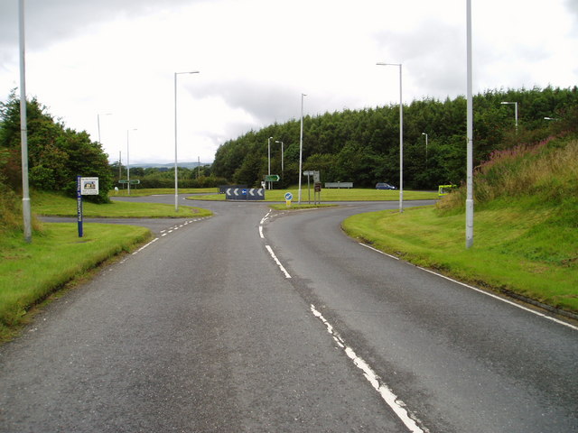
Galleries | A75 | B736 | E18 | Roundabout | S2 | ||
File history
Click on a date/time to view the file as it appeared at that time.
| Date/Time | Thumbnail | Dimensions | User | Comment | |
|---|---|---|---|---|---|
| current | 15:52, 3 January 2010 | | 640 × 480 (84 KB) | Bob@romiley1 (talk | contribs) | {{Information |description = Roundabout on A75 west of Castle Douglas |day = 12 |month = 08 |year = 2007 |photographer = © Copyright [http://www.geograph.org.uk/profile/16342 Bob Peace] and licensed for reuse under [http://creati |
File usage
The following 3 pages use this file: