File:Roundabout on the A19 - Geograph - 1345250.jpg
Jump to navigation
Jump to search

No higher resolution available.
Roundabout_on_the_A19_-_Geograph_-_1345250.jpg (640 × 480 pixels, file size: 95 KB, MIME type: image/jpeg)
| |||||||||||||||||||||||||
|
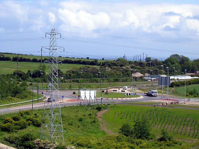
Galleries | A19 | A182 | B1285 | Cold Hesledon Interchange | ||
File history
Click on a date/time to view the file as it appeared at that time.
| Date/Time | Thumbnail | Dimensions | User | Comment | |
|---|---|---|---|---|---|
| current | 13:19, 8 January 2018 | | 640 × 480 (95 KB) | Gc a690 (talk | contribs) | Looking east over one of the roundabouts of Cold Hesledon Interchange; the gated stub of the unfinished East Durham Link Road is visible to the right of the picture. |
File usage
The following 3 pages use this file: