File:Roundabout on the B799 - Geograph - 2587551.jpg
Jump to navigation
Jump to search

No higher resolution available.
Roundabout_on_the_B799_-_Geograph_-_2587551.jpg (640 × 480 pixels, file size: 64 KB, MIME type: image/jpeg)
| |||||||||||||||||||||||||
|
Galleries | B799 | ||
File history
Click on a date/time to view the file as it appeared at that time.
| Date/Time | Thumbnail | Dimensions | User | Comment | |
|---|---|---|---|---|---|
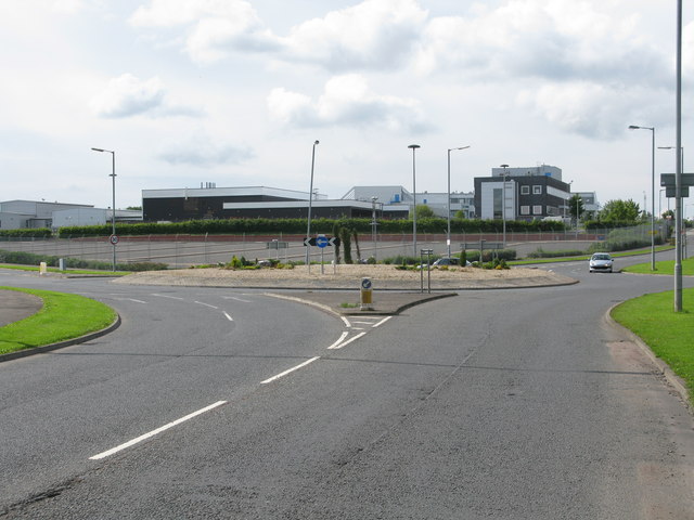
| current | 13:07, 20 January 2014 | | 640 × 480 (64 KB) | Viator (talk | contribs) | Roundabout on the B799 at the junction of Bo'Ness Road and Lancaster Avenue |
File usage
The following page uses this file: