File:Route c environs.jpg
Jump to navigation
Jump to search

Size of this preview: 800 × 543 pixels. Other resolution: 976 × 662 pixels.
Original file (976 × 662 pixels, file size: 87 KB, MIME type: image/jpeg)
File history
Click on a date/time to view the file as it appeared at that time.
| Date/Time | Thumbnail | Dimensions | User | Comment | |
|---|---|---|---|---|---|
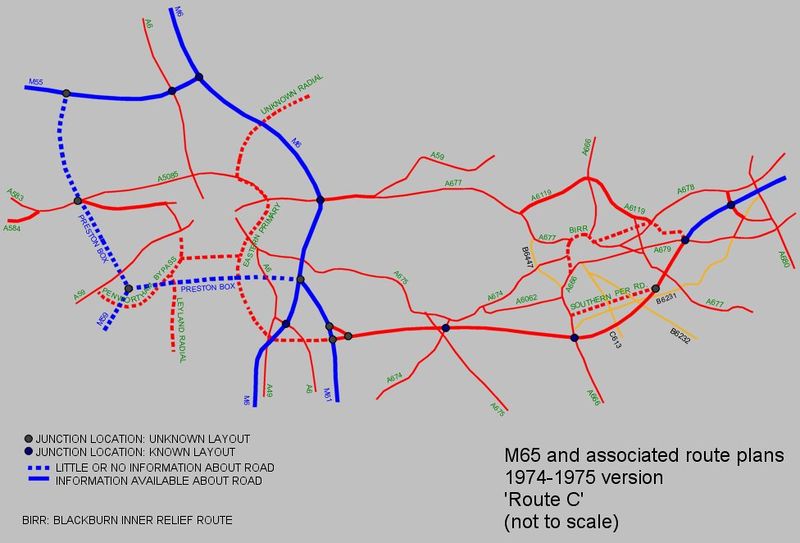
| current | 21:22, 13 February 2011 | | 976 × 662 (87 KB) | Bryn666 (talk | contribs) | 1974 Technical Project Study for M65 routes. Route C. |
File usage
The following page uses this file: