File:Rubane village (C) Dean Molyneaux - Geograph - 1509918.jpg
Jump to navigation
Jump to search

No higher resolution available.
Rubane_village_(C)_Dean_Molyneaux_-_Geograph_-_1509918.jpg (640 × 480 pixels, file size: 90 KB, MIME type: image/jpeg)
| |||||||||||||||||||||||||
|
Galleries | B173 (Northern Ireland) | ||
File history
Click on a date/time to view the file as it appeared at that time.
| Date/Time | Thumbnail | Dimensions | User | Comment | |
|---|---|---|---|---|---|
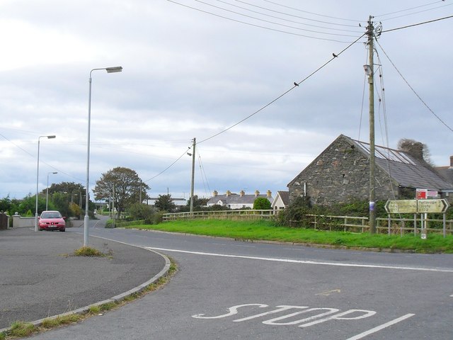
| current | 22:08, 11 November 2013 | | 640 × 480 (90 KB) | Vlad (talk | contribs) | '''Rubane village (C) Dean Molyneaux '''<br/>Rubane lies on the B173 between Kircubbin and Cloughey. It will be familiar to those who regularly visit Kirkistown Circuit Racing Track. |
File usage
The following 2 pages use this file:
_Dean_Molyneaux_-_Geograph_-_1509918.jpg&oldid=358776)