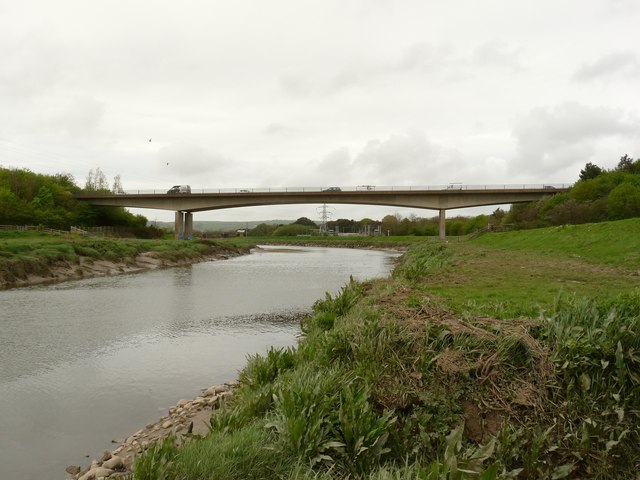
File:Rumsan Bridge on the river Taw as seen from upstream - Geograph - 1856975.jpg
Jump to navigation
Jump to search

No higher resolution available.
Rumsan_Bridge_on_the_river_Taw_as_seen_from_upstream_-_Geograph_-_1856975.jpg (640 × 480 pixels, file size: 62 KB, MIME type: image/jpeg)
| |||||||||||||||||||||||||
|
Galleries | A361 | Rumsan Bridge | ||
File history
Click on a date/time to view the file as it appeared at that time.
| Date/Time | Thumbnail | Dimensions | User | Comment | |
|---|---|---|---|---|---|
| current | 13:25, 26 August 2010 | | 640 × 480 (62 KB) | Bob@romiley1 (talk | contribs) | Rumsan Bridge on the river Taw as seen from upstream |
File usage
The following 2 pages use this file: