File:Rushpark roundabout, Whiteabbey - Geograph - 384108.jpg
Jump to navigation
Jump to search

No higher resolution available.
Rushpark_roundabout,_Whiteabbey_-_Geograph_-_384108.jpg (640 × 426 pixels, file size: 122 KB, MIME type: image/jpeg)
| |||||||||||||||||||||||||
|
Galleries | M5 (Northern Ireland) | A2 (Northern Ireland) | T21 (Northern Ireland) | Shore Road Roundabout | ||
File history
Click on a date/time to view the file as it appeared at that time.
| Date/Time | Thumbnail | Dimensions | User | Comment | |
|---|---|---|---|---|---|
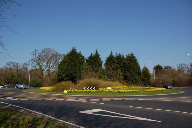
| current | 12:40, 16 June 2010 | | 640 × 426 (122 KB) | Si404 (talk | contribs) | '''Rushpark roundabout, Whiteabbey'''<br/>Rushpark roundabout is where the M5 joins the Shore Road, Whiteabbey. The M5 is in the foreground but the �End of Motorway� sign is behind the photographer. The view is towards Carrickfergus. |
File usage
The following 4 pages use this file: