File:SKYport exchange - Geograph - 137136.jpg
Jump to navigation
Jump to search

No higher resolution available.
SKYport_exchange_-_Geograph_-_137136.jpg (640 × 480 pixels, file size: 91 KB, MIME type: image/jpeg)
| |||||||||||||||||||||||||
|
Galleries | A4 | A437 | Harlington Corner | Heathrow Airport | ||
File history
Click on a date/time to view the file as it appeared at that time.
| Date/Time | Thumbnail | Dimensions | User | Comment | |
|---|---|---|---|---|---|
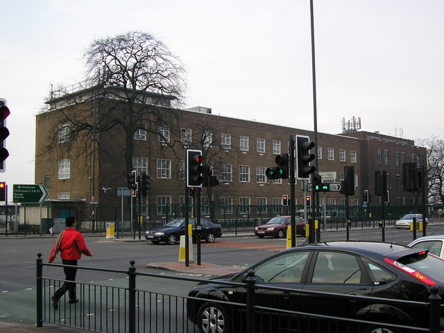
| current | 21:26, 19 July 2010 | | 640 × 480 (91 KB) | Abeaton (talk | contribs) | '''SKYport exchange'''<br/>The London Director telephone area (that is director not directory <span class="nowrap"><a title="http://www.rhaworth.myby.co.uk/phreak/tenp_uk.htm#dirdefn" rel="nofollow" href="http://www.rhaworth.myby.co.uk/phreak/tenp_uk.htm# |
File usage
The following 4 pages use this file: